ASPECTS OF HARVINGTON'S HISTORY
A personal rendering

Coach & Horses
  Home      Booklets etc.      Buildings      Census      Church      Dovecote      Electoral      Facebook      Families      Fields      Histories      Maps       Newspapers       Notes & Queries       PC      People      Pictures      Pubs       School       Sports      Station      Transport      War Time      WI      Wills:      Contact:   

MAPS

&

PLANS

OF

HARVINGTON


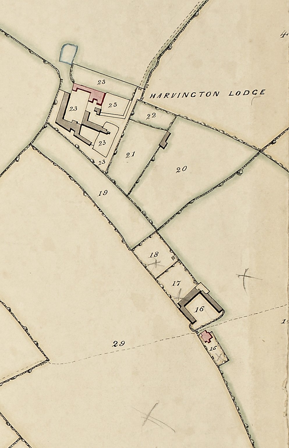
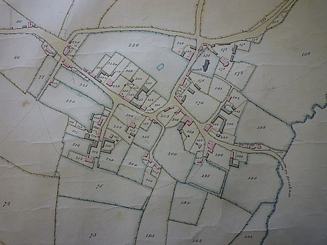
The earliest Ordnance Survey (OS) maps were published on a national scale in the 1840's. Before this date one is reliant upon an eclectic mix of estate, tithe, property plans and maps. Some of these plans and maps shew the properties, fields, roads and river of Harvington in fine detail. The following is what so far has been made available.
Julian Rawes, Crooked Walls.


  1612 Speed map      1832 map      1838 Tithe Map